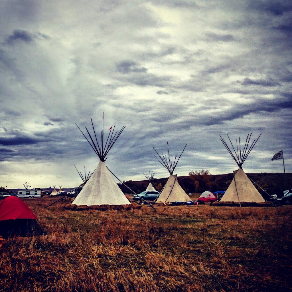
These are photographs from October 2016 at Standing Rock when I came to join the Water Protectors. I wanted to share them in this venue so that people who wish to build upon them or use them for a syllabus are free to do so. With so many images being of police, pipeline and protectors, I hoped to provide images of what we are working to protect.
This is a photo of the Sacred Stone Camp, located on Standing Rock Sioux Tribe Reservation Land, next to the confluence of the Missouri and Cannonball Rivers.

This is the Oceti Sakowin camp is about a mile from Sacred Stone camp and is on Federal land that is the Army Corp of Engineer land.

This is the Missouri River, what we are working together to protect. We are Water Protectors!


The Dakota Access Pipeline intends to run beneath the Missouri River, less than a mile from Standing Rock Reservation.
Should it leak, everything downstream of it will be contaminated.

The Cannonball River is a tributary of the Missouri River.
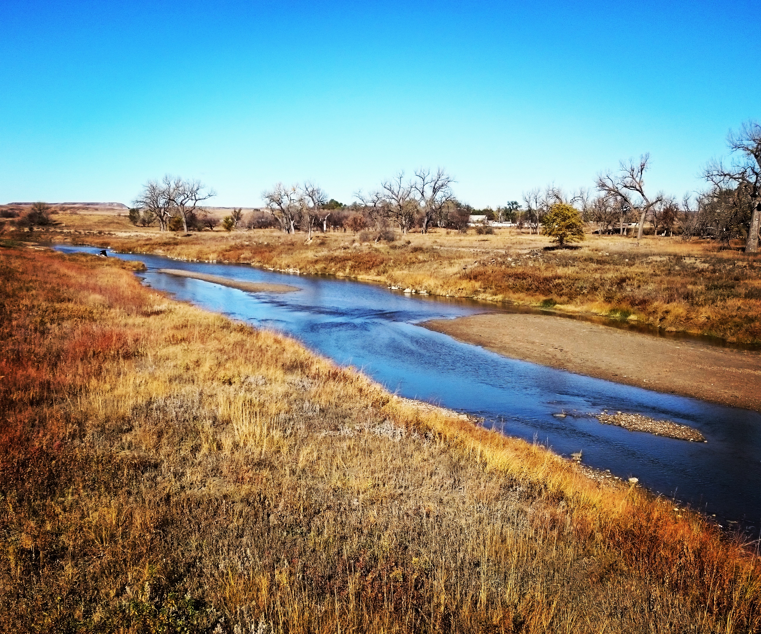
It is the sole water source for the Standing Rock Sioux Tribe.
We are here to protect WATER! #NoDAPL